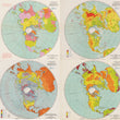
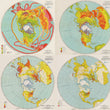
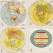
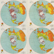
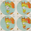
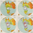
1947 Collection of Air Force Maps of the Northern Hemisphere
DESCRIPTION
An impressive collection of 24 Air Force maps rendered in a Stereographic Polar Projection and presenting a wide variety of thematic data in the years following the end of WWII. All of the maps in this collection were published by the Aeronautical Chart Service out of Washington D.C. in January of 1947 with revisions done in November of that same year.
Understanding economic, transportation, and climate factors was vital for the United States military in the post-World War II era to support strategic objectives, ensure operational effectiveness, and fulfill humanitarian responsibilities in an increasingly interconnected and complex world.
Understanding transportation networks, such as roads, railways, ports, and airfields, was essential for efficiently moving troops, equipment, and supplies to areas of operation. International trade routes, economic dependencies, and geopolitical dynamics were critical to analyze for effectively projecting military power and maintaining strategic alliances. Studying global climate and weather patterns also played a significant role in military planning and operations and minimizing risks to personnel, equipment, and the effectiveness of every mission.
This collection is comprised entirely of Advance Sheets that would be republished in 1948 for the Troop Information Program of the U.S. Army.
Complete List of Map Titles
1) Political & Time Chart, GH-1a
2) Physical Relief Chart, GH-2a
3) Temperature Provinces and Ocean Currents Chart, GH-3a
4) Annual Precipitation Chart, GH-4a
5) Climatic Chart, GH-5a
6) Vegetation Chart, GH-6a
7) Density of Population Chart, GH-7a
8) Economic Chart, GH-8a
9) Transportation Chart, GH-9a
10) Isobars and Prevailing Winds Chart, January, GH-10a
11) Isobars and Prevailing Winds Chart, July, GH-11a
12) Generalized Diagram of Atmospheric Pressure Zones and World Air Movements Chart, AU 50a
13) January Climatic Zones Chart, GH-19a
14) February Climatic Zones Chart, GH-20a
15) March Climatic Zones Chart, GH-21a
16) April Climatic Zones Chart, GH-22a
17) May Climatic Zones Chart, GH-23a
18) June Climatic Zones Chart, GH-24a
19) July Climatic Zones Chart, GH-25a
20) August Climatic Zones Chart, GH-26a
21) September Climatic Zones Chart, GH-27a
22) October Climatic Zones Chart, GH-28a
23) November Climatic Zones Chart, GH-29a
24) December Climatic Zones Chart, GH-30a
CONDITION
1200 W. 35th Street #425 Chicago, IL 60609 | P: (312) 496 - 3622


